
A little further afield than Jalon, but a perfect ride out for Valentine’s weekend maybe.
A Guided Journey – courtesy of Euro Tour Guides
Below is a series of google map coordinates and links, use them as way markers for the journey as well as a description to help you stay on the right road.
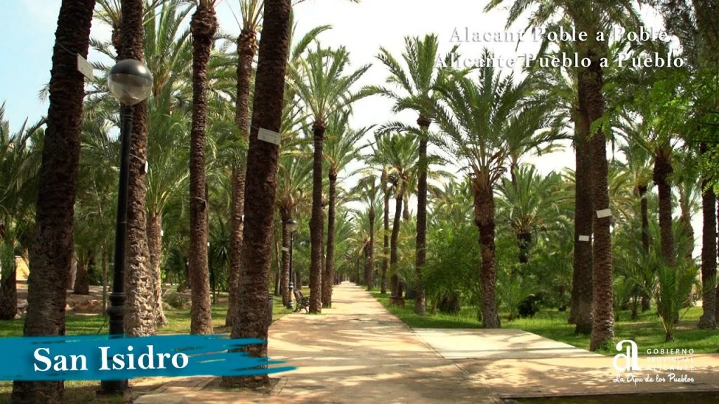
The first one is the village of San Isidro where the Albatera-Catral Train station is located. From here the trains run north to Elche and Alicante and south to Orihuela and Murcia. Of course, you do not need to stop here! 38.170715, -0.840691 https://goo.gl/maps/v3ziGjQa1Bpg59Uu5
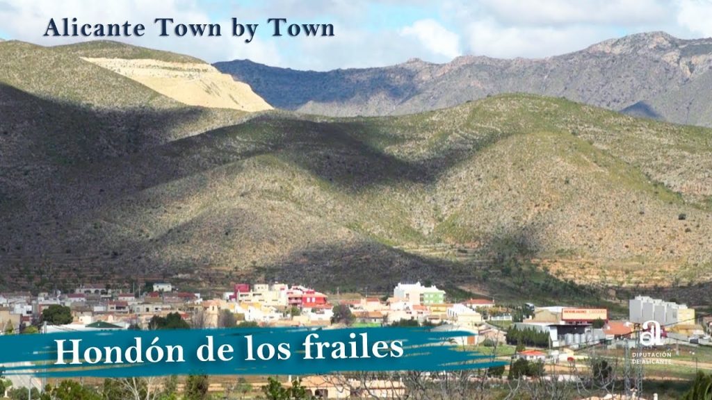
Next drive through Albatera following the signs of All Directions, then Murcia and finally Hondon de las Frailes. 38.184964, -0.872309 https://goo.gl/maps/k4cqiHiiY3RqmfwD6
From here the ascent begins along the CV873 to a height of 495m. The route is bendy, but the road surface is smooth and the views are spectacular. Remember to watch out for the cyclists! 38.271349, -0.926821 https://goo.gl/maps/xaiH7QUxaPzug9cr6
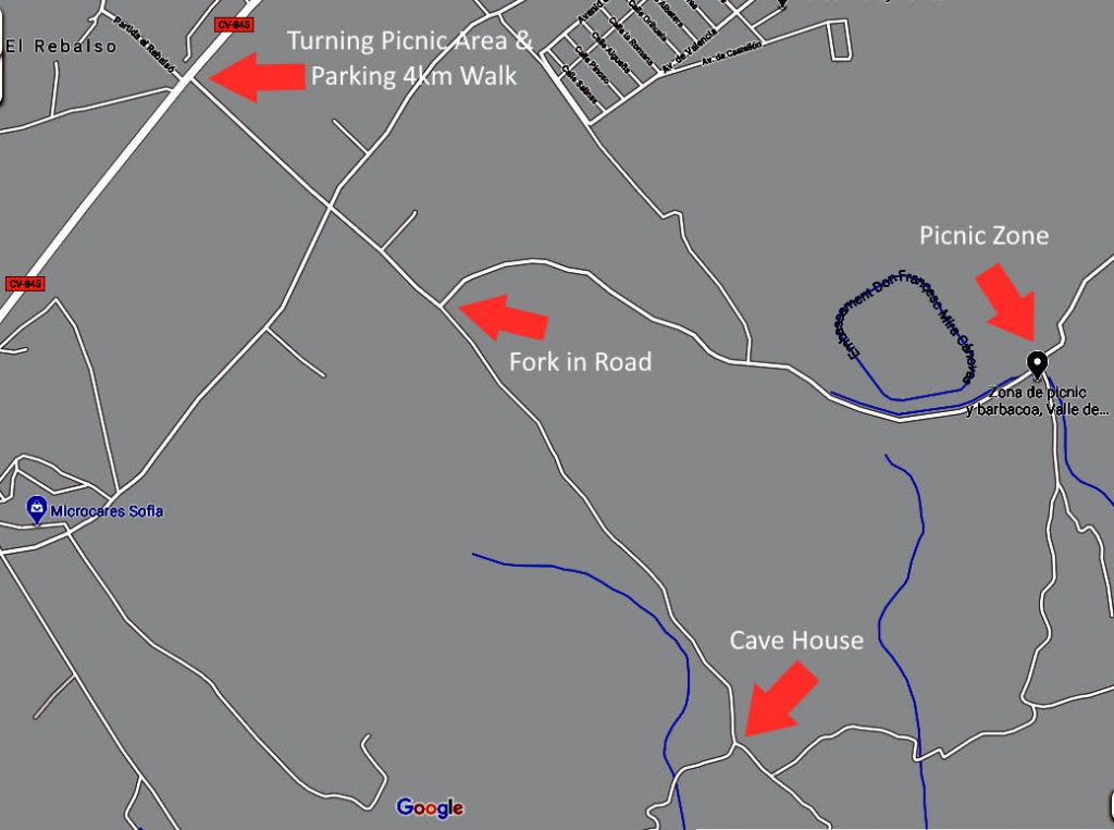
Continue through Hondon de las Frailes and at the T Junction turn right in the direction of Hondon de las Nieves. After 2.5 kilometres you will reach the area called El Rabalso, now you have three choices. 38.289573, -0.908957 https://goo.gl/maps/8Ez3yRWxxe5cvK2z5
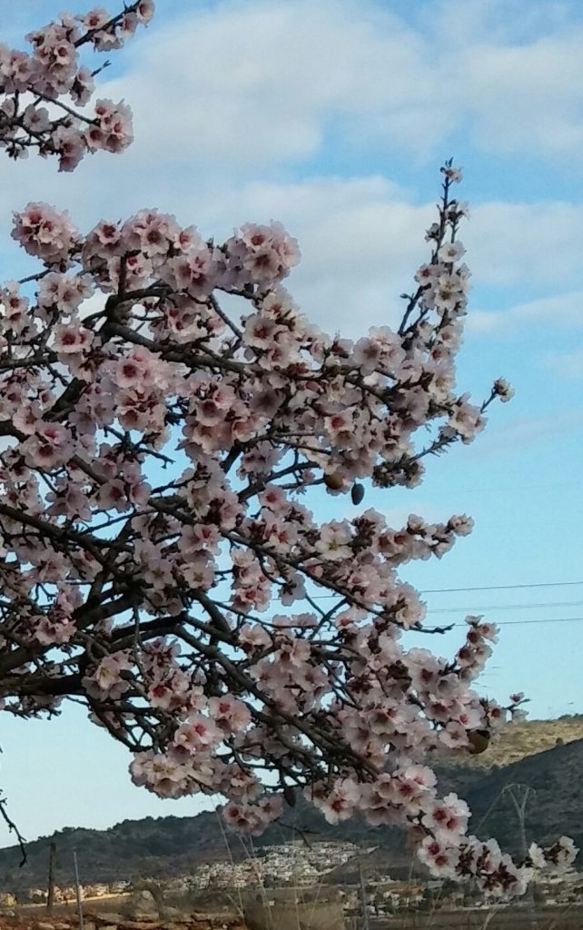
Option 1 Picnic Area & Almond Blossom Field: At the El Rebalso sign turn right onto the camino or countryside road (it doesn’t look like a proper road, but it is!) There is a metal shelter behind which is a wooden post with walking route signs. Drive along this road for 850m, and then at the fork in the road, turn left in front of the Coto de Caza (shooting area) sign and walking route sign post. Continue for 1.5 kilometres until you reach the parking area for the Picnic Zone on your right, there is a field of Almond Blossom behind the Picnic Area. The coordinates for the picnic area are 38.282837, -0.885408 https://goo.gl/maps/Gqnk2WWH7UFJ1dYG6
Option 2 Heart of the Almond Blossom 4km Walk: Park at the El Rebalso sign on the left side of the road in the big pull in area with the metal bus stop. Cross the main road and continue to walk straight for 2 kilometres. This will take you past the fork in the road for the turning to the Picnic Area, but here you continue walking straight ahead slightly uphill. This one lane road will take you past the private farm land where the Almond trees are located in their hundreds. Turn around once you reach the Cave house. 38.274865, -0.893449 https://goo.gl/maps/ER8XHW21CzqKNezt6
Option 3 Picnic Area & Heart of the Almond Blossom 6km Walk: Follow the route to the Picnic area. Once parked, walk back down the road along which you have driven until you reach the fork, turn left here and continue until the cave house. Return by the same route.
After enjoying the Almond Blossom, you have another choice! You can drive home the way you came. Or you can continue into Hondon de las Nieves, maybe stopping for some locally produced wine at the Bodega Cerda. Take the N325 down the mountain, past the reservoir and through Crevillent, pasing the carpet factories to join the AP7.
Bodega Cerda 38.308842, -0.855364 https://goo.gl/maps/4vEznkrKfiDm3A659
Crevillent 38.23208, -0.7920830 https://goo.gl/maps/GP4LPiMBUWDv6zmPA

Don’t forget your camera to take your photo for the EuroTourGuide Facbook Page or Coach Tour Facebook Group.