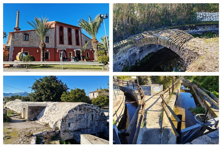
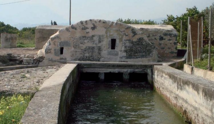
The Potries Water Route… a small and charming town in the region of La Safor, Valencia, is a cultural, tourist journey that runs through a large part of the rural environment that exists around the town.
The route is a beautiful walk to discover a large part of the hydraulic heritage of Potries, a land where a great network of centuries-old historical irrigation infrastructure stands out, elements that, luckily, still work to give life to the nearby orchards.
It runs along paths and rural roads, with a large part of it adapted to reduced mobility and helps to learn the history of this Valencian garden.
The route begins next to the Town Hall (where you will find explanatory posters of the route , you will then pass through the common areas, such as the Pou Comú, the old Well of the Square; the public laundry and the church laundry; the Casa Fosca; the Casa Clara; the Leveler; or the Molí Canyar, among other points. By making a small detour, you can include many more points, such as various parts of the town, other mills or the Canó de Potries, from 1849.
By making a small detour. there are many more stops that you can see the 9-kilometre route, very simple and linear, in the Potries Water Route and urban walk (map).
